Support Links
Please visit our YouTube Channel:
miniCAD YouTube Videos
Tutorials
The following tutorials are provided to help you learn miniCAD.
Each tutorial consists of resources, (images, field data, mcd files) and staged exercises, as individual pdf or word documents.
Tutorial Resources
|
Resources | Staged Exercises | |
|
Resources | Staged Exercises |
Tutorial 1. Contour and Detail Survey
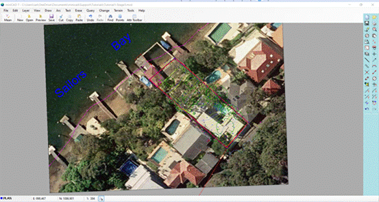
The following stages are found in this tutorial (read setup information in Stage 1 prior to installing the resouces):
- Stage 1 . . Enter Survey Plan Information
- Stage 2 . . Load Field Survey Data
- Stage 3 . . Data Prep: Transform and Contour
- Stage 4 . . Plotting to Paper and DXF
Tutorial 5. Maths in Surveying Exercise
Field data for this exercise is collected at Bicentenial Park, Homebush NSW.
- Field Data Collection . . Collect measurements on paper
- Stage 2 . . Manually Enter the Field Data in miniCAD
Useful Documents and Links
Creating a GPX or KML Lat/Long file from miniCAD
Create a GPX or KML to upload coordinates to a handheld GPS or into Google Maps or Google Earth. On rural jobs you can provide an upload file of survey marks placed to a client. Then they can easily navigate to these waypoints and find the marks I placed.
Click here for details. (in .docx format)
miniCAD Learning Centre
Click here for the MiniCAD Learning Resources.
Surveying Careers
Click here to go to the Surveying Careers Website.